
50 States Map
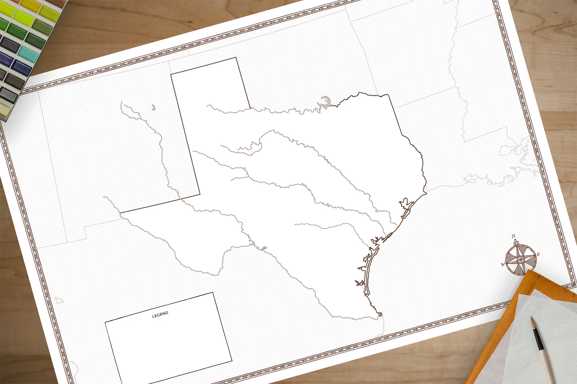
This is a beautiful map of the 50 states of the United States of America.
This large foldable map is designed for use with our U.S. Geography Through Literature curricula for both Primary (K-3rd) and Intermediate (4-6th) grades. Chart the movements and events from this wide-ranging study with this accurate map printed on heavy-duty card stock.
Dimensions are 36 by 24, map folds down to 12 by 9 for easy storage. Students are encouraged to label cities, states, capitals, rivers, lakes, and national landmarks while coloring each state. At the end of the course this map will be a fun keepsake of all that was learned over the year.
This large foldable map is designed for use with our U.S. Geography Through Literature curricula for both Primary (K-3rd) and Intermediate (4-6th) grades. Chart the movements and events from this wide-ranging study with this accurate map printed on heavy-duty card stock.
Dimensions are 36 by 24, map folds down to 12 by 9 for easy storage. Students are encouraged to label cities, states, capitals, rivers, lakes, and national landmarks while coloring each state. At the end of the course this map will be a fun keepsake of all that was learned over the year.
We highly recommend that each student has their own map.
$16.95
50 States Map—
$16.95
More Images

50 States Map
This is a beautiful map of the 50 states of the United States of America.
This large foldable map is designed for use with our U.S. Geography Through Literature curricula for both Primary (K-3rd) and Intermediate (4-6th) grades. Chart the movements and events from this wide-ranging study with this accurate map printed on heavy-duty card stock.
Dimensions are 36 by 24, map folds down to 12 by 9 for easy storage. Students are encouraged to label cities, states, capitals, rivers, lakes, and national landmarks while coloring each state. At the end of the course this map will be a fun keepsake of all that was learned over the year.
This large foldable map is designed for use with our U.S. Geography Through Literature curricula for both Primary (K-3rd) and Intermediate (4-6th) grades. Chart the movements and events from this wide-ranging study with this accurate map printed on heavy-duty card stock.
Dimensions are 36 by 24, map folds down to 12 by 9 for easy storage. Students are encouraged to label cities, states, capitals, rivers, lakes, and national landmarks while coloring each state. At the end of the course this map will be a fun keepsake of all that was learned over the year.
We highly recommend that each student has their own map.
Product Information
Product Information
Shipping & Returns
Shipping & Returns
Description
This is a beautiful map of the 50 states of the United States of America.
This large foldable map is designed for use with our U.S. Geography Through Literature curricula for both Primary (K-3rd) and Intermediate (4-6th) grades. Chart the movements and events from this wide-ranging study with this accurate map printed on heavy-duty card stock.
Dimensions are 36 by 24, map folds down to 12 by 9 for easy storage. Students are encouraged to label cities, states, capitals, rivers, lakes, and national landmarks while coloring each state. At the end of the course this map will be a fun keepsake of all that was learned over the year.
This large foldable map is designed for use with our U.S. Geography Through Literature curricula for both Primary (K-3rd) and Intermediate (4-6th) grades. Chart the movements and events from this wide-ranging study with this accurate map printed on heavy-duty card stock.
Dimensions are 36 by 24, map folds down to 12 by 9 for easy storage. Students are encouraged to label cities, states, capitals, rivers, lakes, and national landmarks while coloring each state. At the end of the course this map will be a fun keepsake of all that was learned over the year.
We highly recommend that each student has their own map.